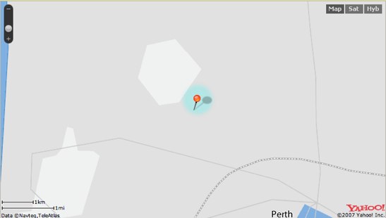
Flickr has long had geotagging support, which is a great way of being able to browse photos for a particular town/region/whatever. However, if you’re in Australia, geotagging your photos with the Flickr map service boils down to blind luck. The maps are so bad as to be beyond useless, and in fact are laughable. Here is the highest resolution map for the western suburbs of Perth, Western Australia:

Great huh? I mean, that light grey blob really helps you work out where you are, as well as that thing that might be a road.
So, way to compete with Google there Yahoo!